

Ask AI about Topolines
ABOUT THE PRODUCT
What is Topolines?
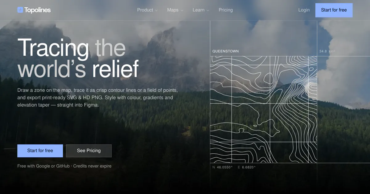
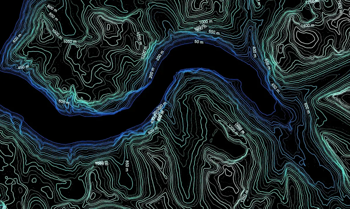
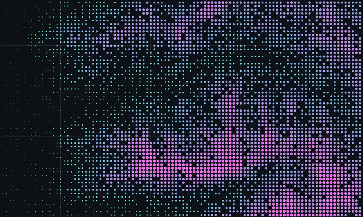
Topolines generates contour artwork from real elevation data worldwide. Version 2.0 adds the terrain-driven Points glyph field, a vector basemap, and annotation layers. Browser trials are free, while SVG and high-resolution PNG exports use credits.






No comments yet. Be the first to share your thoughts on Topolines.